የ11ኛ ክፍል ጂኦግራፊ ምዕራፍ 8
How contour lines show the shape of a hill
1:16
የ11ኛ ክፍል ጂኦግራፊ ምዕራፍ 8 አጭር የ Temari የአኒሜሽን ማብራሪያ፦ How contour lines show the shape of a hill። የሚናገረው ሁሉ ከቪዲዮው በታች ተጽፏል። በነጻ ይታያል፤ መለያ አያስፈልግም። ማብራሪያዎቹ በእንግሊዝኛ ናቸው።
ማብራሪያው የሚናገረው ሁሉ
የማብራሪያው ቃላት በየክፍሉ፣ በቪዲዮው ላይ እንደሚጻፉት።
Lines of equal height
A contour is an imaginary line joining places of equal height above mean sea level, the average level of the sea.
Slice this hill every 20 m, the usual interval on a 1:50,000 map.
Now look down from above. Each slice becomes a closed ring, and the rings sit one inside the next.
The smallest ring holds the hilltop.
Close lines mean a steep slope
Now compare the two sides.
On the left the hill is steep, and its rings crowd close together.
On the right it is gentle, and the rings spread wide apart.
Where the gaps stay even, the slope is uniform.
Each V points upstream
Now let a stream cut a small valley into the gentle side.
Each contour bends into a V where it crosses the stream, and the point of every V faces upstream, toward the high ground.
Follow the Vs, and you can tell which way the water flows.
Reading contour lines
Close contours mean a steep slope, wide ones a gentle slope, and each V in a valley points upstream.
Save this one for revision.
የምዕራፍ 8 ሙሉ ትምህርት
በዚህ ምዕራፍ ላይ ያለው ረዘም ያለ የ Temari ቪዲዮ ትምህርት ነው፤ የሚናገረው ሁሉ በገጹ ላይ ተጽፏል።
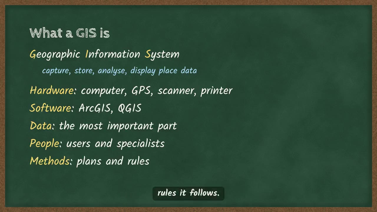 What a GIS does, and how it stores points, lines and areas4 ደቂቃ
ስለ ምዕራፍ 8 ተጨማሪ
የምዕራፉ ገጽ Temari በዚህ ምዕራፍ ላይ ያለውን ሌላውን ይዟል፤ ለምሳሌ አጭር ማስታወሻዎችና የመልመጃ ጥያቄዎች ከመልሶቻቸው ጋር።
የምዕራፍ 8 ገጽ ይክፈቱይህን ምዕራፍ በመተግበሪያው ይለማመዱ
Temari ይህን ምዕራፍ ወደ ጊዜ የተቆረጠለት መልመጃ ይለውጠዋል፣ እየሠሩ ያርምዎታል፤ ያልገባዎትንም የሚያብራራ የ AI አስተማሪ አለ።
በነጻ ይጀምሩ
Temari.et ለ Android ስልኮች መተግበሪያ አለው፤ በ Google Play ላይ በነጻ ይገኛል።