የ12ኛ ክፍል ጂኦግራፊ ምዕራፍ 8
How a GIS overlay builds a new map
1:19 · በምዕራፍ 8 ላይ ካሉት 2 ማብራሪያዎች 2ኛው
የ12ኛ ክፍል ጂኦግራፊ ምዕራፍ 8 አጭር የ Temari የአኒሜሽን ማብራሪያ፦ How a GIS overlay builds a new map። የሚናገረው ሁሉ ከቪዲዮው በታች ተጽፏል። በነጻ ይታያል፤ መለያ አያስፈልግም። ማብራሪያዎቹ በእንግሊዝኛ ናቸው።
ማብራሪያው የሚናገረው ሁሉ
የማብራሪያው ቃላት በየክፍሉ፣ በቪዲዮው ላይ እንደሚጻፉት።
A map is a stack of layers
Any mapped area can be split into thematic layers, one theme each.
Roads on one, rivers on another, then forests, then towns, all of the same area.
Overlay lays the layers on top
Overlay analysis lays two or more of these layers on top of each other.
Out of them it builds new information, and it is arguably the most powerful function of a GIS.
Raster layers add up cell by cell
Raster layers are grids of cells.
If both have the same cell size and their cells line up, overlay simply matches each cell with the one under it.
Map algebra then combines them: add the two values, and the new cell holds the sum.
No new shapes are drawn, so a raster overlay is fast.
Vector overlay makes new shapes
Vector overlay combines points, lines or polygons, together with their attributes.
It always creates new geometry and a new data set.
Its three functions are clip, intersect and union.
Union keeps every piece of both layers, cut where their edges cross.
GIS overlay
Overlay stacks layers of one area to build new information.
Save this one for your exam.
የምዕራፍ 8 ሙሉ ትምህርት
በዚህ ምዕራፍ ላይ ያለው ረዘም ያለ የ Temari ቪዲዮ ትምህርት ነው፤ የሚናገረው ሁሉ በገጹ ላይ ተጽፏል።
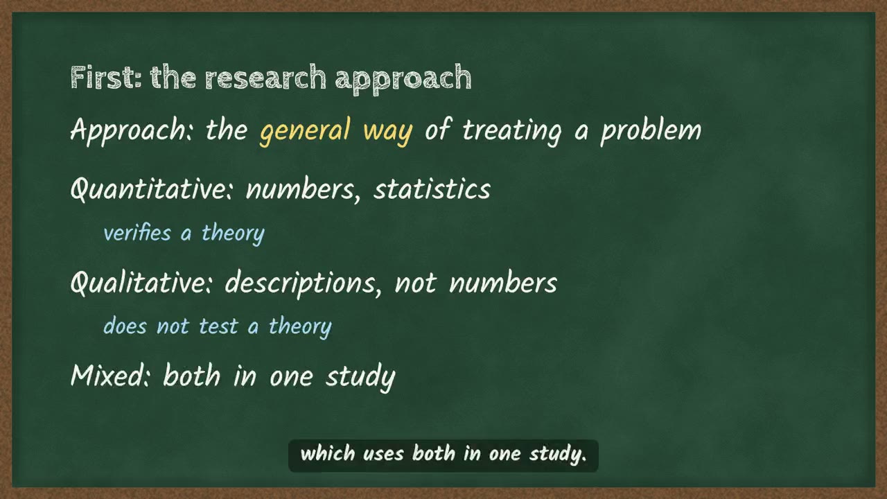 Research method and research methodology4 ደቂቃ
በምዕራፍ 8 ላይ ሌሎች ማብራሪያዎች
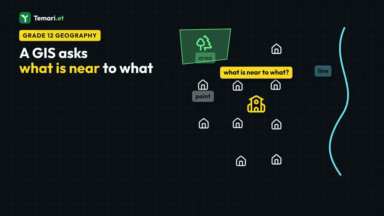
ስለ ምዕራፍ 8 ተጨማሪ
የምዕራፉ ገጽ Temari በዚህ ምዕራፍ ላይ ያለውን ሌላውን ይዟል፤ ለምሳሌ አጭር ማስታወሻዎችና የመልመጃ ጥያቄዎች ከመልሶቻቸው ጋር።
የምዕራፍ 8 ገጽ ይክፈቱይህን ምዕራፍ በመተግበሪያው ይለማመዱ
Temari ይህን ምዕራፍ ወደ ጊዜ የተቆረጠለት መልመጃ ይለውጠዋል፣ እየሠሩ ያርምዎታል፤ ያልገባዎትንም የሚያብራራ የ AI አስተማሪ አለ።
በነጻ ይጀምሩ
Temari.et ለ Android ስልኮች መተግበሪያ አለው፤ በ Google Play ላይ በነጻ ይገኛል።