የ9ኛ ክፍል ጂኦግራፊ ምዕራፍ 1
The three parts of Ethiopia's Rift Valley
1:29 · በምዕራፍ 1 ላይ ካሉት 2 ማብራሪያዎች 1ኛው
የ9ኛ ክፍል ጂኦግራፊ ምዕራፍ 1 አጭር የ Temari የአኒሜሽን ማብራሪያ፦ The three parts of Ethiopia's Rift Valley። የሚናገረው ሁሉ ከቪዲዮው በታች ተጽፏል። በነጻ ይታያል፤ መለያ አያስፈልግም። ማብራሪያዎቹ በእንግሊዝኛ ናቸው።
ማብራሪያው የሚናገረው ሁሉ
የማብራሪያው ቃላት በየክፍሉ፣ በቪዲዮው ላይ እንደሚጻፉት።
One valley splits the highlands
Look at Ethiopia from above.
A long valley crosses it from the northeast to the southwest.
It cuts the highlands in two: the Western Highlands and the Southeastern Highlands.
This is the Ethiopian Rift Valley.
1,700 km long
It runs for 1,700 kilometres and covers 18 percent of the country.
It has three parts: north, centre and south.
North: the Afar Triangle
In the north is the Afar Triangle, the largest and widest part.
Much of it lies below sea level. The Dallol Depression is 116 metres below the sea.
It holds salt plains and lakes. Lake Afrera is one of them.
Centre: the Lakes Region
The centre is the Main Ethiopian Rift, or the Lakes Region.
It runs from the lower Awash basin to Lake Chamo, past many lakes.
It is the highest and narrowest part, and the wettest and most crowded. People farm here.
South: the Chew Bahir Rift
In the south is the Chew Bahir Rift, the smallest part.
It is a shallow marsh of tall grass, and most people here are pastoralists, who live by keeping herds.
The Ethiopian Rift Valley
Afar in the north, the Lakes Region in the centre, and Chew Bahir in the south.
Save this one for revision.
የምዕራፍ 1 ሙሉ ትምህርት
በዚህ ምዕራፍ ላይ ያለው ረዘም ያለ የ Temari ቪዲዮ ትምህርት ነው፤ የሚናገረው ሁሉ በገጹ ላይ ተጽፏል።
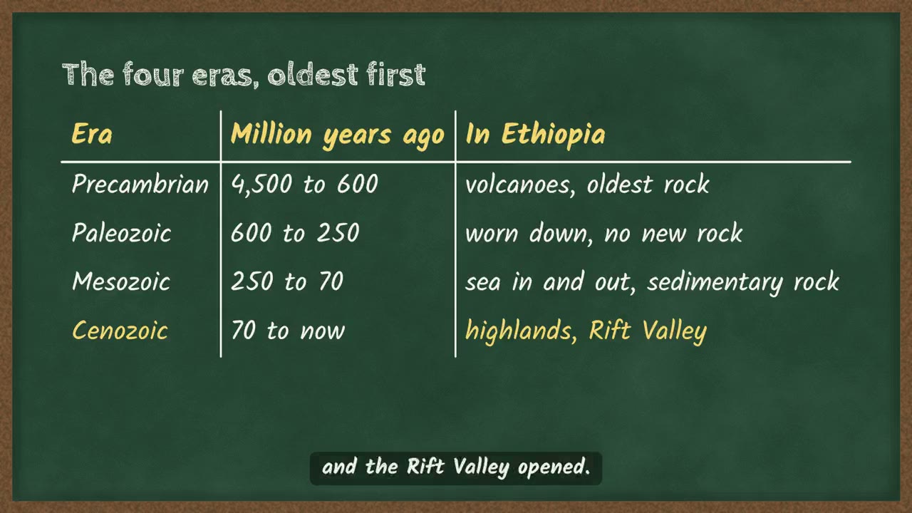 Ethiopia's four geological eras3 ደቂቃ
በምዕራፍ 1 ላይ ሌሎች ማብራሪያዎች
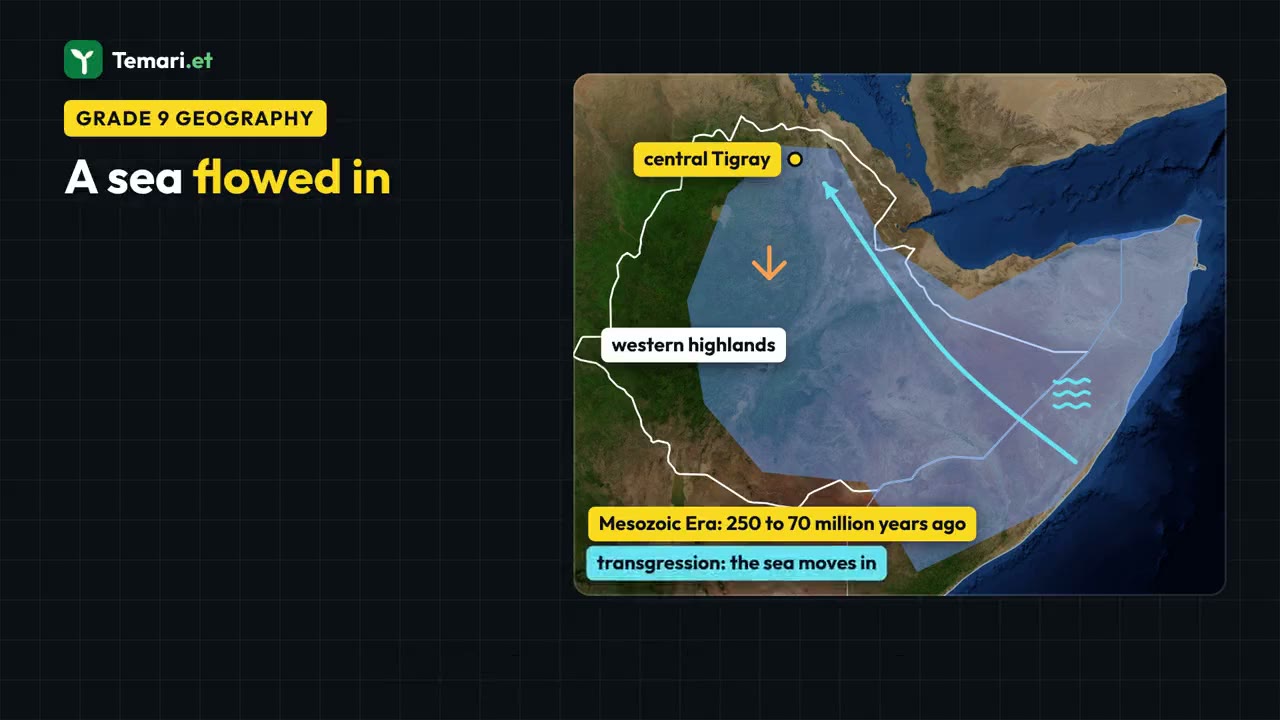
ስለ ምዕራፍ 1 ተጨማሪ
የምዕራፉ ገጽ Temari በዚህ ምዕራፍ ላይ ያለውን ሌላውን ይዟል፤ ለምሳሌ አጭር ማስታወሻዎችና የመልመጃ ጥያቄዎች ከመልሶቻቸው ጋር።
የምዕራፍ 1 ገጽ ይክፈቱይህን ምዕራፍ በመተግበሪያው ይለማመዱ
Temari ይህን ምዕራፍ ወደ ጊዜ የተቆረጠለት መልመጃ ይለውጠዋል፣ እየሠሩ ያርምዎታል፤ ያልገባዎትንም የሚያብራራ የ AI አስተማሪ አለ።
በነጻ ይጀምሩ
Temari.et ለ Android ስልኮች መተግበሪያ አለው፤ በ Google Play ላይ በነጻ ይገኛል።