የ9ኛ ክፍል ጂኦግራፊ ምዕራፍ 3
Why the Awash is the most used river
1:22 · በምዕራፍ 3 ላይ ካሉት 2 ማብራሪያዎች 2ኛው
የ9ኛ ክፍል ጂኦግራፊ ምዕራፍ 3 አጭር የ Temari የአኒሜሽን ማብራሪያ፦ Why the Awash is the most used river። የሚናገረው ሁሉ ከቪዲዮው በታች ተጽፏል። በነጻ ይታያል፤ መለያ አያስፈልግም። ማብራሪያዎቹ በእንግሊዝኛ ናቸው።
ማብራሪያው የሚናገረው ሁሉ
የማብራሪያው ቃላት በየክፍሉ፣ በቪዲዮው ላይ እንደሚጻፉት።
It begins on the plateau
The Awash begins near a town about 100 km west of Addis Ababa, on the high plateau.
Its upper course crosses that plateau, outside the Rift Valley.
Then along the Rift Valley
Then it drops into the Rift Valley, and its middle and lower courses run along the valley floor.
It also makes electricity at the Awash one, two and three hydroelectric projects.
Flat plains make it the most used
Many Ethiopian rivers run through steep-sided gorges.
But in the Rift Valley, the Awash crosses flat plains for hundreds of kilometres.
Irrigation means bringing river water to farmland.
Because of those plains, it is the most used river in Ethiopia for irrigation.
It never reaches a sea
Near its end, it spreads over wide delta plains, built from soil it carried.
Then it ends in Lake Abbe, a salty lake on the border with Djibouti.
All 1,200 km of it lie inside Ethiopia, and its water never reaches a sea.
So the Awash belongs to the inland drainage system.
The Awash
The Awash ends in Lake Abbe, and flat plains make it the most used for irrigation.
Save this one for revision.
የምዕራፍ 3 ሙሉ ትምህርት
በዚህ ምዕራፍ ላይ ያለው ረዘም ያለ የ Temari ቪዲዮ ትምህርት ነው፤ የሚናገረው ሁሉ በገጹ ላይ ተጽፏል።
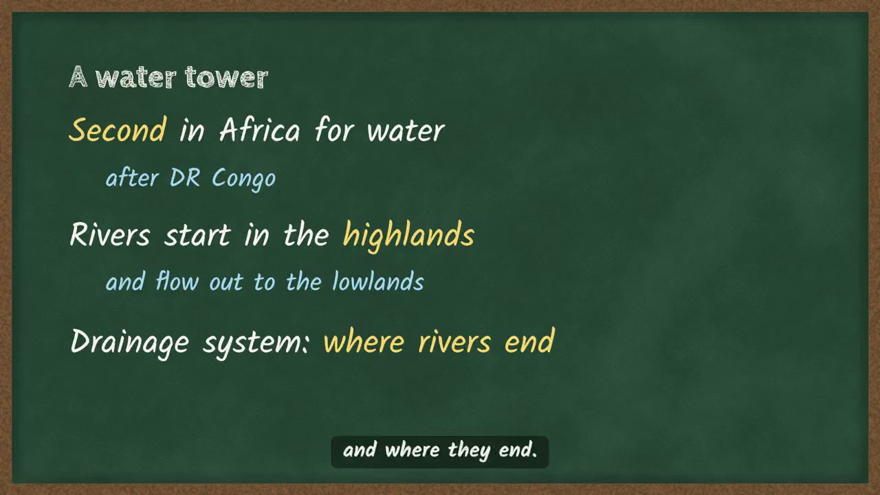 Ethiopia's rivers and where they go4 ደቂቃ
በምዕራፍ 3 ላይ ሌሎች ማብራሪያዎች
ስለ ምዕራፍ 3 ተጨማሪ
የምዕራፉ ገጽ Temari በዚህ ምዕራፍ ላይ ያለውን ሌላውን ይዟል፤ ለምሳሌ አጭር ማስታወሻዎችና የመልመጃ ጥያቄዎች ከመልሶቻቸው ጋር።
የምዕራፍ 3 ገጽ ይክፈቱይህን ምዕራፍ በመተግበሪያው ይለማመዱ
Temari ይህን ምዕራፍ ወደ ጊዜ የተቆረጠለት መልመጃ ይለውጠዋል፣ እየሠሩ ያርምዎታል፤ ያልገባዎትንም የሚያብራራ የ AI አስተማሪ አለ።
በነጻ ይጀምሩ
Temari.et ለ Android ስልኮች መተግበሪያ አለው፤ በ Google Play ላይ በነጻ ይገኛል።