
የ12ኛ ክፍል ውጤት ወጥቷል፤ ውጤትዎን የሚያዩበት መንገድ

የምዕራፍ ማስታወሻዎችና የመልመጃ ጥያቄዎች

የ11ኛ ክፍል ጂኦግራፊ ምዕራፍ 3፦ የተፈጥሮ ሀብቶችና በሀብት ዙሪያ የሚነሱ ግጭቶች

በዚህ ገጽ ያለው ሁሉ ለ11ኛ ክፍል የጂኦግራፊ መፅሐፍ ምዕራፍ 3 ነው፦ ምዕራፉ የሚሸፍነው፣ አጭር ማስታወሻዎቹ፣ የመልመጃ ጥያቄዎች ከመልሶቻቸው ጋር፣ እና ቪዲዮ ባለበት የትምህርቱ ቪዲዮ።

ከ Google Play ያውርዱ
3
ካርዶች
10
የምዕራፍ 3 የመልመጃ ጥያቄዎች
58–95
የምዕራፍ 3 የመፅሐፍ ገጾች

ምዕራፍ 3 የሚሸፍነው

  1. 1.The functions and management of land
  2. 2.Resources under pressure
  3. 3.Land resource depletion and degradation
  4. 4.Transboundary rivers
  5. 5.Regional cooperation for sustainable use of transboundary rivers
  6. 6.Potential and actual use of water in Ethiopia, Sudan and Egypt
  7. 7.Conflicts over resources

የምዕራፍ 3 አጭር ማስታወሻዎች

በ11ኛ ክፍል የጂኦግራፊ ገጽ ላይ በዚህ ምዕራፍ ሥር የተመዘገቡት ካርዶች። አንድ በአንድ ይክፈቱ።

ዓመተ ምህረትፈራሚ አካላትዋና ይዘት እና ድልድል
1929UK እና EgyptEgypt በ Nile ውሃ ላይ ተፈጥሯዊ እና ታሪካዊ መብት እንዳላት ተከራከረች
1959Egypt እና Sudanለ Egypt 55.5 BCM እንዲሁም ለ Sudan 18.5 BCM መድቧል
1999Nile Basin Riparian Statesፍትሃዊ አጠቃቀምን ለማስፈን Nile Basin Initiative (NBI) ተመሠረተ

መቼ እንደሚጠቀሙበት

በአባይ ተፋሰስ ውስጥ የተደረጉ ዋና ዋና የሁለትዮሽ እና የባለብዙ ወገን የውሃ ድልድል ስምምነቶችን ለመከለስ ይጠቀሙበት።

ይጠንቀቁ

የ1959ኙ ስምምነት ውሃውን በሙሉ ለግብፅ (55.5 ቢሊዮን ሜትር ኪዩብ) እና ለሱዳን (18.5 ቢሊዮን ሜትር ኪዩብ) ብቻ በማከፋፈል የላይኛው ተፋሰስ አገሮችን ሙሉ በሙሉ ችላ ብሏል።

ከGrade 11 Geography፣ ከገጽ 59 ጀምሮ የተዘጋጀ፤ ከመውጣቱ በፊት ሁለት ጊዜ ተረጋግጧል

መስፈርትየሀብት ክፍሎች
እንደገና መታደስRenewable፣ Non-renewable
መነሻBiotic፣ Abiotic
የአሁን አጠቃቀም እና የወደፊት ተገኝነትStock፣ Flow
ስርጭት እና መጠንUbiquitous፣ Unique፣ Common፣ Rare
የእድገት ደረጃPotential፣ Actual፣ Conditional

መቼ እንደሚጠቀሙበት

የተፈጥሮ ሀብቶች በእድሳት፡ በመነሻ፡ በስርጭት እና በእድገት ደረጃ እንዴት እንደሚመደቡ ለመለየት ይጠቀሙበት።

ይጠንቀቁ

ታዳሽ ሀብቶችም ቢሆኑ የአጠቃቀም መጠናቸው ከተፈጥሮ እድሳት መጠናቸው ከበለጠ ሊያልቁ ይችላሉ።

ከGrade 11 Geography፣ ከገጽ 59 ጀምሮ የተዘጋጀ፤ ከመውጣቱ በፊት ሁለት ጊዜ ተረጋግጧል
ዋና (መሰረታዊ) መንስኤቀጥተኛ መንስኤቀጥተኛ ውጤት
ፈጣን የህዝብ ቁጥር እድገትተከታታይ እርሻ፣ የደን መጨፍጨፍ፣ ከልክ ያለፈ ግጦሽየእርሻ መሬት መከፋፈል፣ የአፈር መሸርሸር፣ የbiomass መመናመን
የአየር ንብረት ለውጥድርቅ፣ ከባድ ዝናብበረሃማነት፣ የጎርፍ መከሰት፣ የግድብ ደለል መሙላት
ወጣ ገባ የመሬት ገጽታገደላማ ዳገቶች፣ ዝቅተኛ የመሬት ክፍሎችበፈጣን የውሃ ፍሰት የላይኛው አፈር መገፈፍ፣ waterlogging (የውሃ መተኛት)
ተገቢ ያልሆነ የመሬት አጠቃቀምዳገትን ቁልቁል ማረስ፣ ከልክ ያለፈ የመስኖ አጠቃቀምየአፈር አልሚ ንጥረ ነገሮች መመናመን፣ salinization (የአፈር ጨዋማነት)፣ የአፈር መሸርሸር
የመንግስት ፖሊሲየመሬት ይዞታ ዋስትና ማጣትየተፈጥሮ ሀብት መመናመን፣ በአፈርና ውሃ ጥበቃ ላይ ዝቅተኛ ኢንቨስትመንት

መቼ እንደሚጠቀሙበት

መሬትን የሚያራቁቱ ዋና መሰረታዊ መንስኤዎችን እና ቀጥተኛ አካላዊ ተግባራትን ለመለየት ይጠቀሙበት።

ይጠንቀቁ

እንደ የህዝብ ቁጥር መጨመር ያሉ መሰረታዊ መንስኤዎችን እንደ ዛፍ መጨፍጨፍ እና ከብቶችን ከመጠን በላይ ማሰማራት ካሉ ቀጥተኛ መንስኤዎች ጋር አያምታቱ።

ከGrade 11 Geography፣ ከገጽ 59 ጀምሮ የተዘጋጀ፤ ከመውጣቱ በፊት ሁለት ጊዜ ተረጋግጧል

የምዕራፍ 3 የመልመጃ ጥያቄዎች

በዚህ ምዕራፍ ላይ የተጻፉ 10 የምርጫ ጥያቄዎች፣ እያንዳንዳቸው መልሱና ምክንያቱ አላቸው። መልሱን ከመክፈትዎ በፊት ይሞክሩ። ጥያቄዎቹ በእንግሊዝኛ ናቸው።

ጥያቄ 1

Which of the following is classified as an inexhaustible renewable flow resource?

  1. A.Sunlight
  2. B.Coal
  3. C.Petroleum
  4. D.Metallic minerals
መልሱንና ምክንያቱን ያሳዩ

መልስ፦ A Sunlight

ምክንያቱ

Sunlight, wind, and atmospheric oxygen are inexhaustible renewable resources that exist as flow resources, whereas coal, petroleum, and minerals are non-renewable.

ጥያቄ 2

What is the soil conservation practice of planting a line of trees to break wind speed and reduce wind erosion called?

  1. A.Mulching
  2. B.Shelterbelts
  3. C.Terracing
  4. D.Inter-cropping
መልሱንና ምክንያቱን ያሳዩ

መልስ፦ B Shelterbelts

ምክንያቱ

Shelterbelts refer to the planting of trees along a line to break the speed of blowing wind and decrease its erosive power.

ጥያቄ 3

According to the textbook, which transboundary river travels through the territory of the largest number of nations (19 nations)?

  1. A.The Danube
  2. B.The Nile
  3. C.The Amazon
  4. D.The Congo
መልሱንና ምክንያቱን ያሳዩ

መልስ፦ A The Danube

ምክንያቱ

The Danube river flows through 19 nations, which is the largest number of riparian countries for any river listed in the text.

ጥያቄ 4

In which city was the Nile Basin Initiative (NBI) first signed by ministers of water resources on 22 February 1999?

  1. A.Addis Ababa, Ethiopia
  2. B.Dar-es-Salaam, Tanzania
  3. C.Cairo, Egypt
  4. D.Khartoum, Sudan
መልሱንና ምክንያቱን ያሳዩ

መልስ፦ B Dar-es-Salaam, Tanzania

ምክንያቱ

The Nile Basin Initiative (NBI) was signed on 22 February 1999 in Dar-es-Salaam, Tanzania.

ጥያቄ 5

What proportion of the world's arable land and soils has been destroyed by soil erosion according to the textbook?

  1. A.Nearly 10%
  2. B.Nearly 20%
  3. C.Nearly 33%
  4. D.Nearly 50%
መልሱንና ምክንያቱን ያሳዩ

መልስ፦ C Nearly 33%

ምክንያቱ

The textbook states that nearly 33% of the world's arable land and soils have been destroyed by soil erosion.

ጥያቄ 6

According to the text, approximately how many hectares of forested land have been converted into other land uses each year globally over past decades?

  1. A.About 3 million ha
  2. B.About 8 million ha
  3. C.About 13 million ha
  4. D.About 25 million ha
መልሱንና ምክንያቱን ያሳዩ

መልስ፦ C About 13 million ha

ምክንያቱ

About 13 million hectares of forested lands have been annually converted into other land uses at the global level.

ጥያቄ 7

According to the textbook data, which country has an annual per capita water use of about 830 cubic meters, which is below the 1700 cubic meters threshold proposed by WHO?

  1. A.Ethiopia
  2. B.Sudan
  3. C.Egypt
  4. D.Uganda
መልሱንና ምክንያቱን ያሳዩ

መልስ፦ C Egypt

ምክንያቱ

Egypt has an annual per capita water use of about 830 cubic meters per person per year, compared to 1,666 for Ethiopia and 1,981 for Sudan.

ጥያቄ 8

Which of the following is classified as a form of physical soil degradation in the textbook?

  1. A.Crusting and compaction
  2. B.Salinization
  3. C.Loss of soil biota
  4. D.Acidification
መልሱንና ምክንያቱን ያሳዩ

መልስ፦ A Crusting and compaction

ምክንያቱ

Physical soil degradation includes crusting, compaction, and depth reduction. Salinization and acidification are chemical forms, while loss of biota is biological.

ጥያቄ 9

According to the textbook, around 80% of the total land area of how many countries lies within international river basins?

  1. A.21 countries
  2. B.30 countries
  3. C.44 countries
  4. D.145 countries
መልሱንና ምክንያቱን ያሳዩ

መልስ፦ C 44 countries

ምክንያቱ

Around 80% of the total area of 44 countries lies within international basins (20 in Africa, 13 in Europe, 7 in Asia, and 4 in Latin America).

ጥያቄ 10

Which regional organization was established by a 1986 treaty to transfer water from the headwaters of the Orange River to the Pretoria-Witwatersrand Vereeniging region?

  1. A.Kagera Basin Organization (KBO)
  2. B.Lesotho Highlands Development Authority (LHDA)
  3. C.Zambezi River Authority (ZRA)
  4. D.Southern African Power Pool (SAPP)
መልሱንና ምክንያቱን ያሳዩ

መልስ፦ B Lesotho Highlands Development Authority (LHDA)

ምክንያቱ

The Lesotho Highlands Development Authority (LHDA) was created by Lesotho and South Africa in 1986 to transfer water from the Orange River to industrial regions in South Africa.

መተግበሪያው በዚህ ምዕራፍ ላይ 12 ጥያቄዎች አሉት፤ እየሠሩ ያርምዎታል። እዚህ ያሉት የመጀመሪያዎቹ 10 ናቸው።

የምዕራፍ 3 የመፅሐፍ ገጾች

ምዕራፍ 3 በየትምህርት ሚኒስቴር እትም ከገጽ 58 እስከ ገጽ 95 ይደርሳል።

የትምህርት ሚኒስቴር እትም, እንግሊዝኛ, 254 ገጾች

PDF ያውርዱ

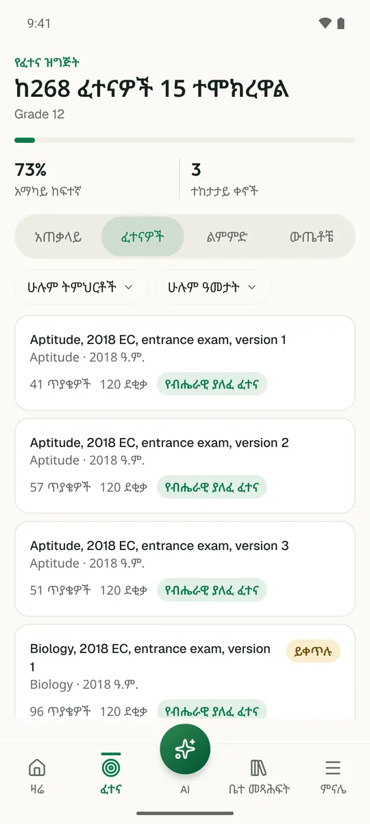
ይህን ምዕራፍ በመተግበሪያው ይለማመዱ

Temari ይህን ምዕራፍ ወደ ጊዜ የተቆረጠለት መልመጃ ይለውጠዋል፣ እየሠሩ ያርምዎታል፤ ያልገባዎትንም የሚያብራራ የ AI አስተማሪ አለ።

በነጻ ይጀምሩ

Temari.et ለ Android ስልኮች መተግበሪያ አለው፤ በ Google Play ላይ በነጻ ይገኛል።

ይግቡመለያዎን ይክፈቱ