የ12ኛ ክፍል ውጤት ወጥቷል፤ ውጤትዎን የሚያዩበት መንገድ

የምዕራፍ ማስታወሻዎችና የመልመጃ ጥያቄዎች

የ9ኛ ክፍል ጂኦግራፊ ምዕራፍ 8፦ የጂኦግራፊ ምርምር ክህሎቶች እና ቴክኒኮች

በዚህ ገጽ ያለው ሁሉ ለ9ኛ ክፍል የጂኦግራፊ መፅሐፍ ምዕራፍ 8 ነው፦ ምዕራፉ የሚሸፍነው፣ አጭር ማስታወሻዎቹ፣ የመልመጃ ጥያቄዎች ከመልሶቻቸው ጋር፣ እና ቪዲዮ ባለበት የትምህርቱ ቪዲዮ።

ከ Google Play ያውርዱ
3
ካርዶች
10
የምዕራፍ 8 የመልመጃ ጥያቄዎች

ምዕራፍ 8 የሚሸፍነው

  1. 1.Map and its basic components
  2. 2.Scale, scale conversion and measurements on
  3. 3.Position on maps
  4. 4.Map sketching
  5. 5.Interpreting maps and graphs

የምዕራፍ 8 አጭር ማስታወሻዎች

በ9ኛ ክፍል የጂኦግራፊ ገጽ ላይ በዚህ ምዕራፍ ሥር የተመዘገቡት ካርዶች። አንድ በአንድ ይክፈቱ።

የስኬል ምድብየወካይ ክፍልፋይ (RF)የሚሸፈነው ቦታየዝርዝር ሁኔታ
Large Scale≥1:50,000\ge 1:50{,}000SmallHigh detail
Medium Scale1:50,000 to 1:250,0001:50{,}000 \text{ to } 1:250{,}000MediumModerate detail
Small Scale≤1:250,000\le 1:250{,}000LargeLow detail

መቼ እንደሚጠቀሙበት

የካርታ ስኬሎችን ለመመደብ እና የስኬል መጠንን ከሚሸፍነው ቦታና የዝርዝር ደረጃ ጋር ለማዛመድ ይጠቀሙበት።

ይጠንቀቁ

በመለያው ላይ ትልቅ ቁጥር መኖር ለምሳሌ 1:1,000,000 የሚያሳየው አነስተኛ ስኬልን እንጂ ትልቅ ስኬልን አይደለም።

ከGrade 9 Geography፣ ከገጽ 202 ጀምሮ የተዘጋጀ፤ ከመውጣቱ በፊት ሁለት ጊዜ ተረጋግጧል

መቼ እንደሚጠቀሙበት

በፍርግርግ ካርታ ላይ የአንድን ነጥብ ባለ አራት ወይም ባለ ስድስት ዲጂት መጋጠሚያ ለማንበብ ይጠቀሙበት።

ይጠንቀቁ

ሁልጊዜ ከግራ ወደ ቀኝ የሚሄዱትን ምስራቃዊ መስመሮች (Eastings) ከታች ወደ ላይ ከሚሄዱት ሰሜናዊ መስመሮች (Northings) አስቀድመው ያንብቡ።

ከGrade 9 Geography፣ ከገጽ 202 ጀምሮ የተዘጋጀ፤ ከመውጣቱ በፊት ሁለት ጊዜ ተረጋግጧል
የሰሜን ዓይነትትርጓሜበካርታ ላይ ያለው ማመሳከሪያ
True Northበmeridian በኩል ወደ Geographic North Pole የሚያመላክት አቅጣጫየLongitude መስመሮች (meridians)
Magnetic Northበmagnetic compass መርፌ የሚጠቆም አቅጣጫየMagnetic compass መርፌ
Grid Northወደ ላይ የሚያመለክቱ የቁልቁል grid lines አቅጣጫEastings (የቁልቁል grid lines)

መቼ እንደሚጠቀሙበት

በካርታ ንባብና አቅጣጫ ፍለጋ ላይ የሚያገለግሉትን ሦስት የተለያዩ የሰሜን መለኪያዎችን ለመለየት ይጠቀሙበት።

ይጠንቀቁ

ከመካከለኛው ሜሪዲያን ውጭ የፍርግርግ መስመሮች ትክክለኛውን ሰሜን (True North) አያመለክቱም።

ከGrade 9 Geography፣ ከገጽ 202 ጀምሮ የተዘጋጀ፤ ከመውጣቱ በፊት ሁለት ጊዜ ተረጋግጧል

የምዕራፍ 8 የመልመጃ ጥያቄዎች

በዚህ ምዕራፍ ላይ የተጻፉ 10 የምርጫ ጥያቄዎች፣ እያንዳንዳቸው መልሱና ምክንያቱ አላቸው። መልሱን ከመክፈትዎ በፊት ይሞክሩ። ጥያቄዎቹ በእንግሊዝኛ ናቸው።

ጥያቄ 1

What is the main function of the legend (or key) on a map?

  1. A.It explains the meaning of the signs and symbols used on the map.
  2. B.It tells the user the exact year the map was printed.
  3. C.It names the organization and city that published the map.
  4. D.It indicates the exact direction of the geographic North Pole.
መልሱንና ምክንያቱን ያሳዩ

መልስ፦ A It explains the meaning of the signs and symbols used on the map.

ምክንያቱ

The legend or key explains the meaning of all signs, colors, and symbols used by the map-maker to represent physical and human features.

ጥያቄ 2

By standard cartographic convention, which direction is usually placed at the top of a map?

  1. A.South
  2. B.East
  3. C.North
  4. D.West
መልሱንና ምክንያቱን ያሳዩ

መልስ፦ C North

ምክንያቱ

By convention, map makers place the North direction at the top of maps using a North arrow or orientation indicator.

ጥያቄ 3

Which instrument is used to measure the accurate area of both regular and irregular shapes directly from a map?

  1. A.Planimeter
  2. B.Magnetic compass
  3. C.Pair of dividers
  4. D.Protractor
መልሱንና ምክንያቱን ያሳዩ

መልስ፦ A Planimeter

ምክንያቱ

A planimeter is a mechanical device used to get accurate area measurements of both regular and irregular shapes from maps.

ጥያቄ 4

A map with a scale greater than or equal to 1:50,000 is classified as a:

  1. A.Small-scale map
  2. B.Medium-scale map
  3. C.Large-scale map
  4. D.Continental map
መልሱንና ምክንያቱን ያሳዩ

መልስ፦ C Large-scale map

ምክንያቱ

Maps with scales of 1:50,000 or larger (such as 1:20,000 or 1:10,000) are large-scale maps. They show small areas in high detail.

ጥያቄ 5

If a map has a Representative Fraction (RF) scale of 1:500,000, what is this scale expressed as a scale statement?

  1. A.1 cm to 5 km
  2. B.1 cm to 50 km
  3. C.1 cm to 0.5 km
  4. D.1 cm to 500 km
መልሱንና ምክንያቱን ያሳዩ

መልስ፦ A 1 cm to 5 km

ምክንያቱ

Since 1 km = 100,000 cm, divide 500,000 by 100,000. This gives 5 km, meaning 1 cm on the map represents 5 km on the ground.

ጥያቄ 6

On a map drawn to a scale of 1:800,000, the straight-line distance between two Ethiopian towns is 4 cm. What is the actual ground distance between them?

  1. A.20 km
  2. B.32 km
  3. C.40 km
  4. D.320 km
መልሱንና ምክንያቱን ያሳዩ

መልስ፦ B 32 km

ምክንያቱ

Ground Distance = 4 cm × 800,000 cm = 3,200,000 cm. Dividing 3,200,000 cm by 100,000 gives 32 km.

ጥያቄ 7

In the National Grid Reference system, what are the vertical grid lines that are numbered eastwards from the grid origin called?

  1. A.Northings
  2. B.Parallels
  3. C.Eastings
  4. D.Azimuths
መልሱንና ምክንያቱን ያሳዩ

መልስ፦ C Eastings

ምክንያቱ

Vertical grid lines on a national grid map are numbered eastwards from the origin and are called eastings. Horizontal lines are called northings.

ጥያቄ 8

If the angular bearing from point A to point B is 135°, which compass direction does this represent?

  1. A.Northeast (NE)
  2. B.Southeast (SE)
  3. C.Southwest (SW)
  4. D.Northwest (NW)
መልሱንና ምክንያቱን ያሳዩ

መልስ፦ B Southeast (SE)

ምክንያቱ

Compass bearings start at North (0°) and move clockwise: East is 90°, Southeast is 135°, South is 180°, and West is 270°.

ጥያቄ 9

A rectangular plot of grazing land measures 3 cm in length and 2 cm in width on a map with a scale of 1:250,000. What is the real ground area of the land?

  1. A.15.0 km<sup>2</sup>
  2. B.25.0 km<sup>2</sup>
  3. C.37.5 km<sup>2</sup>
  4. D.75.0 km<sup>2</sup>
መልሱንና ምክንያቱን ያሳዩ

መልስ፦ C 37.5 km<sup>2</sup>

ምክንያቱ

At 1:250,000, 1 cm = 2.5 km. Ground length = 3 cm × 2.5 km = 7.5 km. Ground width = 2 cm × 2.5 km = 5 km. Area = 7.5 km × 5 km = 37.5 km2.

ጥያቄ 10

Unlike a four-digit grid reference, a six-digit grid reference gives a position accurate to the nearest:

  1. A.10 meters
  2. B.100 meters
  3. C.1 kilometer
  4. D.10 kilometers
መልሱንና ምክንያቱን ያሳዩ

መልስ፦ B 100 meters

ምክንያቱ

A six-figure grid reference provides location accuracy to the nearest 100 meters, which is possible on larger scale maps. A four-figure reference is accurate to the nearest kilometer.

መተግበሪያው በዚህ ምዕራፍ ላይ 12 ጥያቄዎች አሉት፤ እየሠሩ ያርምዎታል። እዚህ ያሉት የመጀመሪያዎቹ 10 ናቸው።

የምዕራፍ 8 የመፅሐፍ ገጾች

ሙሉው የ9ኛ ክፍል የጂኦግራፊ መማሪያ መፅሐፍ፣ በነጻ PDF።

የትምህርት ሚኒስቴር እትም, እንግሊዝኛ, 247 ገጾች

PDF ያውርዱ

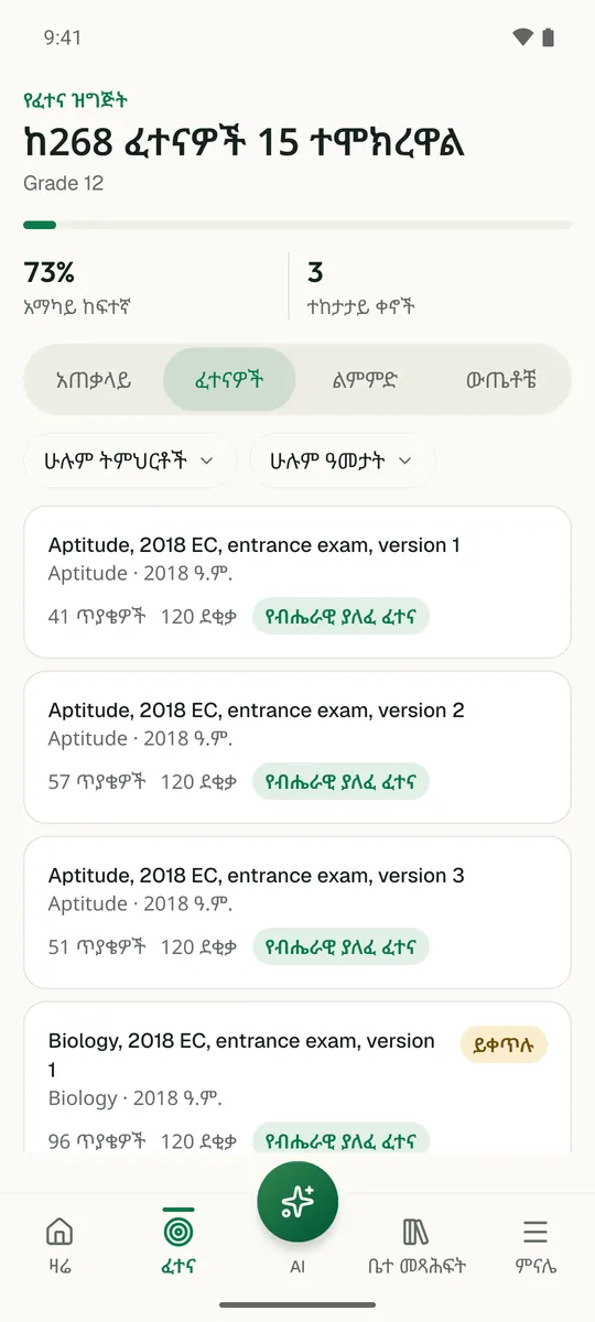
ይህን ምዕራፍ በመተግበሪያው ይለማመዱ

Temari ይህን ምዕራፍ ወደ ጊዜ የተቆረጠለት መልመጃ ይለውጠዋል፣ እየሠሩ ያርምዎታል፤ ያልገባዎትንም የሚያብራራ የ AI አስተማሪ አለ።

በነጻ ይጀምሩ

Temari.et ለ Android ስልኮች መተግበሪያ አለው፤ በ Google Play ላይ በነጻ ይገኛል።

ይግቡመለያዎን ይክፈቱ