
Grade 12 results are out. Where to check yours

Unit notes and practice questions

Grade 9 Geography unit 8: Geography inquiry skills and techniques

Everything here is for unit 8 of the Grade 9 Geography textbook: what the chapter covers, the short notes, practice questions with their answers, and the lesson video where one exists.

Get it on Google Play
3
Cards
10
Practice questions on unit 8

What unit 8 covers

  1. 1.Map and its basic components
  2. 2.Scale, scale conversion and measurements on
  3. 3.Position on maps
  4. 4.Map sketching
  5. 5.Interpreting maps and graphs

Short notes for unit 8

The cards filed under this chapter on the Grade 9 Geography page. Open one at a time.

Scale CategoryRepresentative FractionArea CoveredLevel of Detail
Large Scale≥1:50,000\ge 1:50{,}000SmallHigh detail
Medium Scale1:50,000 to 1:250,0001:50{,}000 \text{ to } 1:250{,}000MediumModerate detail
Small Scale≤1:250,000\le 1:250{,}000LargeLow detail

When you use it

Use this to classify map scales and relate the scale ratio to ground area coverage and detail level.

Watch out

A larger denominator number like 1:1,000,000 indicates a smaller scale map, not a large scale map.

Drafted from Grade 9 Geography, page 202 onwards, then checked twice before it went up

When you use it

Use this rule to determine the four digit or six digit numeric coordinates of a specific point on a gridded map.

Watch out

Always read Eastings (vertical lines, from left to right) before Northings (horizontal lines, from bottom to top).

Drafted from Grade 9 Geography, page 202 onwards, then checked twice before it went up
North TypeDefinitionReference on Map
True NorthDirection along a meridian to the Geographic North PoleLongitude lines (meridians)
Magnetic NorthDirection indicated by the needle of a magnetic compassMagnetic compass needle
Grid NorthDirection of the vertical grid lines pointing upwardEastings (vertical grid lines)

When you use it

Use this to distinguish between the three distinct north reference points used in cartography and bearing measurements.

Watch out

Grid lines do not run true north except along the single standard central meridian.

Drafted from Grade 9 Geography, page 202 onwards, then checked twice before it went up

Practice questions on unit 8

10 multiple-choice questions written against this chapter, each with its answer and the reason. Try one before you open the answer.

Question 1

What is the main function of the legend (or key) on a map?

  1. A.It explains the meaning of the signs and symbols used on the map.
  2. B.It tells the user the exact year the map was printed.
  3. C.It names the organization and city that published the map.
  4. D.It indicates the exact direction of the geographic North Pole.
Show the answer and why

Answer: A It explains the meaning of the signs and symbols used on the map.

Why

The legend or key explains the meaning of all signs, colors, and symbols used by the map-maker to represent physical and human features.

Question 2

By standard cartographic convention, which direction is usually placed at the top of a map?

  1. A.South
  2. B.East
  3. C.North
  4. D.West
Show the answer and why

Answer: C North

Why

By convention, map makers place the North direction at the top of maps using a North arrow or orientation indicator.

Question 3

Which instrument is used to measure the accurate area of both regular and irregular shapes directly from a map?

  1. A.Planimeter
  2. B.Magnetic compass
  3. C.Pair of dividers
  4. D.Protractor
Show the answer and why

Answer: A Planimeter

Why

A planimeter is a mechanical device used to get accurate area measurements of both regular and irregular shapes from maps.

Question 4

A map with a scale greater than or equal to 1:50,000 is classified as a:

  1. A.Small-scale map
  2. B.Medium-scale map
  3. C.Large-scale map
  4. D.Continental map
Show the answer and why

Answer: C Large-scale map

Why

Maps with scales of 1:50,000 or larger (such as 1:20,000 or 1:10,000) are large-scale maps. They show small areas in high detail.

Question 5

If a map has a Representative Fraction (RF) scale of 1:500,000, what is this scale expressed as a scale statement?

  1. A.1 cm to 5 km
  2. B.1 cm to 50 km
  3. C.1 cm to 0.5 km
  4. D.1 cm to 500 km
Show the answer and why

Answer: A 1 cm to 5 km

Why

Since 1 km = 100,000 cm, divide 500,000 by 100,000. This gives 5 km, meaning 1 cm on the map represents 5 km on the ground.

Question 6

On a map drawn to a scale of 1:800,000, the straight-line distance between two Ethiopian towns is 4 cm. What is the actual ground distance between them?

  1. A.20 km
  2. B.32 km
  3. C.40 km
  4. D.320 km
Show the answer and why

Answer: B 32 km

Why

Ground Distance = 4 cm × 800,000 cm = 3,200,000 cm. Dividing 3,200,000 cm by 100,000 gives 32 km.

Question 7

In the National Grid Reference system, what are the vertical grid lines that are numbered eastwards from the grid origin called?

  1. A.Northings
  2. B.Parallels
  3. C.Eastings
  4. D.Azimuths
Show the answer and why

Answer: C Eastings

Why

Vertical grid lines on a national grid map are numbered eastwards from the origin and are called eastings. Horizontal lines are called northings.

Question 8

If the angular bearing from point A to point B is 135°, which compass direction does this represent?

  1. A.Northeast (NE)
  2. B.Southeast (SE)
  3. C.Southwest (SW)
  4. D.Northwest (NW)
Show the answer and why

Answer: B Southeast (SE)

Why

Compass bearings start at North (0°) and move clockwise: East is 90°, Southeast is 135°, South is 180°, and West is 270°.

Question 9

A rectangular plot of grazing land measures 3 cm in length and 2 cm in width on a map with a scale of 1:250,000. What is the real ground area of the land?

  1. A.15.0 km<sup>2</sup>
  2. B.25.0 km<sup>2</sup>
  3. C.37.5 km<sup>2</sup>
  4. D.75.0 km<sup>2</sup>
Show the answer and why

Answer: C 37.5 km<sup>2</sup>

Why

At 1:250,000, 1 cm = 2.5 km. Ground length = 3 cm × 2.5 km = 7.5 km. Ground width = 2 cm × 2.5 km = 5 km. Area = 7.5 km × 5 km = 37.5 km2.

Question 10

Unlike a four-digit grid reference, a six-digit grid reference gives a position accurate to the nearest:

  1. A.10 meters
  2. B.100 meters
  3. C.1 kilometer
  4. D.10 kilometers
Show the answer and why

Answer: B 100 meters

Why

A six-figure grid reference provides location accuracy to the nearest 100 meters, which is possible on larger scale maps. A four-figure reference is accurate to the nearest kilometer.

The app holds 12 questions on this unit, marked as you go. These are the first 10.

The textbook pages for unit 8

The whole Grade 9 Geography textbook, free as a PDF.

Ministry of Education edition, English, 247 pages

Download the PDF

Practise this unit in the app

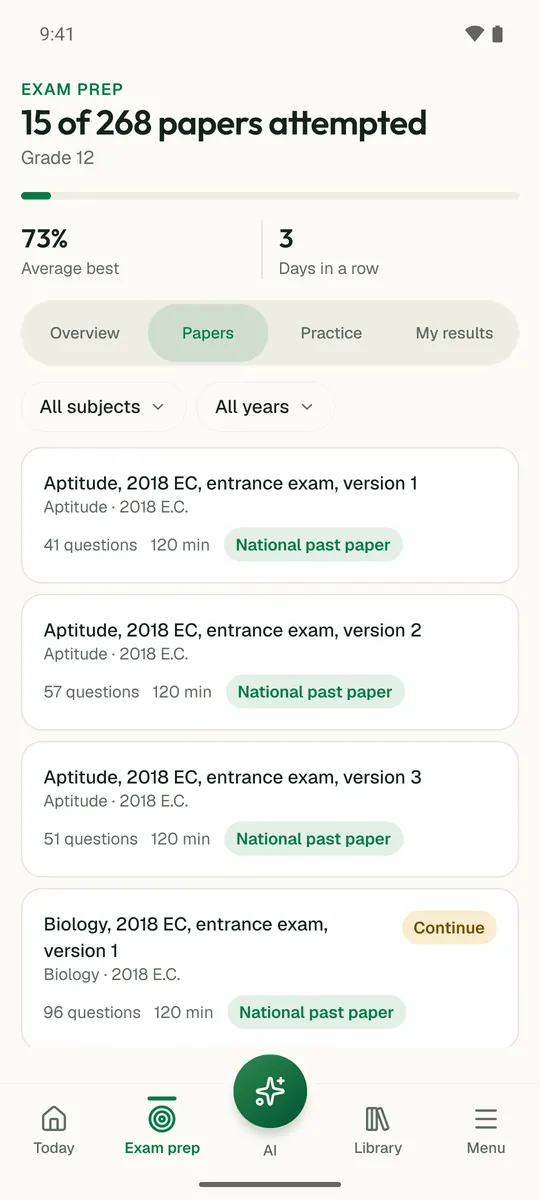
Temari turns this chapter into timed practice and marks it as you go, with an AI tutor to explain anything that did not land.

Start free

Temari.et is also an Android app, free on Google Play.

Sign inCreate your account