Grade 10 Geography unit 8
Data or information, and where map data comes from
4 min · 2 past exam questions worked through
Parts of the lesson
Tap a part to play the lesson from there.
A 4-minute Temari video lesson on Grade 10 Geography unit 8: Data or information, and where map data comes from. Free to watch, no account needed.
More on unit 8
The chapter's own page holds the rest of what Temari has on it, such as short notes and practice questions with their answers.
Open the unit 8 pageEverything the lesson says
The lesson's words, part by part. Tap a time to play the lesson from there.
0:00Introduction
Every map starts as data, collected on the ground or seen from the sky. Two things from this chapter keep coming up on the exam. How data is different from information, and where geographic data comes from. Learn both, and these questions become easy marks.
0:17Data or information?
People often use the words data and information as if they meant the same thing. They do not. Data are observations, collected and stored as numbers, characters, images, facts and symbols.
Here is the difference. Data is the input. Information is the output. Data is unprocessed facts and figures. Information is data that has been processed and organised, so that it adds to what we know. So data does not depend on information. But information depends on data.
0:54The data cycle
So how does data become information? It goes through four stages, called the data cycle. First, collect it. That can be new data from a study area, called primary data, or secondary data that already exists in an office, like the Central Statistical Agency.
Second, process it: check its quality and merge anything that is repeated. Third, analyse it, and show the results in tables, charts and graphs. Last, share the results with the public, and keep them for later. What comes out at the end is information.
1:34Exam question 1Past exam
Now a real question, from the 2018 Grade 12 national exam. What makes data different from information? Finish the sentence: data is. Pause the video, and try it.
Go back to the table. Data goes in, and information comes out. So data is an input for the computer system. The answer is A. Now look at the others. B says processed, C says refined, and D says analysed. Each of those is data after work has been done on it, and that is information.
2:17Two sources of geographic data
Now, where does geographic data come from? There are two sources. Directly collected data is measured at the place itself. A temperature reading at a weather station. An elevation recorded by visiting the spot. A census, a sample survey, or counting the trees on a farm.
Remotely sensed data is measured from far away, with no contact and no visit. Satellite images are the main example, and so are aerial photographs. Today, most mapping is done this way.
2:50Exam question 2Past exam
One more, from the same exam. Which one of the following is an example of remotely sensed data? Pause, and try it.
Ask one thing: did someone have to go there? A sample survey, a census and a temperature reading all need a visit to the place, so they are directly collected. A satellite image is taken from far above, with no visit. The answer is C.
3:23Summary
So remember. Data is the input, and information is the output. Data becomes information as it is collected, processed, analysed and shared. Directly collected data needs a visit. Remotely sensed data, like a satellite image, does not. Keep practising questions like these on Temari.et.
Practise this unit in the app
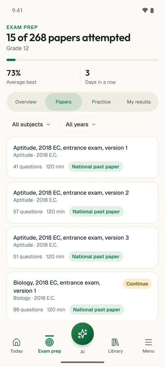
Temari turns this chapter into timed practice and marks it as you go, with an AI tutor to explain anything that did not land.
Start free
Temari.et is also an Android app, free on Google Play.