
Grade 12 results are out. Where to check yours

Exam papers

Grade 12 Geography model exam, 2018 E.C. (2026)

A model exam set in 2018 E.C. to prepare Grade 12 students for the Geography entrance exam, in the same format. It is practice, and it is not the entrance exam paper itself. Every question comes with the correct answer and a worked explanation.

Get it on Google Play
  • Social science stream

    Who sits it

  • 2018 E.C. model exam

    Exam year

  • 85 questions with answers

    In this set

Try questions from this paper

Answer each question yourself before opening the answer. The explanations point to the exact place in the textbook, so you know which page to reread when you miss one.

Question 1

Which major geological feature is directly formed through the tectonic convergence and subduction of two oceanic plates?

  1. A.The Mariana volcanic feature
  2. B.The Himalayas mountain
  3. C.The East African rift valley
  4. D.The San Andreas Fault
Show the answer and explanation

Answer: A The Mariana volcanic feature

Why

When two oceanic plates converge, the older/denser plate subducts beneath the younger, creating a deep ocean trench and a volcanic island arc (e.g., Mariana Trench and Mariana Islands). The Himalayas formed from continental-continental collision, the East African Rift from divergent plate motion, and the San Andreas Fault from transform motion.

Question 2

Station Description J F M A M J J A S O N D P Temp (°C) 30 29 24 25 24 22 20 20 29 30 27 30 Rainfall (mm) 0 0 0 15 55 72 89 100 75 19 11 0 Q Temp (°C) 27 28 29 29 28 23 24 26 26 27 27 28 Rainfall (mm) 26 51 102 152 254 483 279 76 127 203 56 32 R Temp (°C) -12 -10 -8 -3 8 21 24 19 5 -5 -10 -16 Rainfall (mm) 8 7 5 6 14 22 32 31 14 12 9 8 S Temp (°C) 27 27 27 27 28 28 29 28 27 27 27 27 Rainfall (mm) 251 188 189 195 171 173 174 103 173 206 251 269 DIRECTION: QUESTIONS 84-88 ARE BASED ON THE DEMOGRAPHIC DATA OF A HYPOTHETICAL REGION GIVEN IN THE TABLE BELOW. THESE QUESTIONS SHOULD BE DONE ONLY BY NON-BLIND CANDIDATES. Based on the climatic data table, what is the annual temperature range for Station "R"?

  1. A.40°C
  2. B.35°C
  3. C.8°C
  4. D.26°C
Show the answer and explanation

Answer: A 40°C

Why

Annual temperature range = maximum temperature - minimum temperature. For Station R: maximum temperature = 24°C (July), minimum temperature = -16°C (December). Range = 24 - (-16) = 40°C. This large range indicates a continental climate with harsh winters.

Question 3

What is the most accurate description of Geography as a discipline?

  1. A.The study of human population distribution and economic activities
  2. B.The examination of man-environment interactions from a spatial perspective
  3. C.The description of Earth's physical features and their locations
  4. D.The analysis of Earth's shape, size, and climatic conditions
Show the answer and explanation

Answer: B The examination of man-environment interactions from a spatial perspective

Why

Geography is fundamentally concerned with the spatial analysis of human-environment interactions. While options A, C, and D describe sub-aspects, option B captures the holistic, integrative core of the discipline, emphasizing the reciprocal relationship between people and their environment across space.

Question 4

Which of the following statements is NOT a true reflection of the challenges faced by landlocked countries?

  1. A.They lack direct territorial access to the sea for export-import trade
  2. B.They are generally required to pay high transit fees to access coastal seaports
  3. C.Their commercial activities rarely face customs delays or transit interruptions
  4. D.They depend on negotiated agreements for unrestricted passage through neighboring transit states
Show the answer and explanation

Answer: C Their commercial activities rarely face customs delays or transit interruptions

Why

Landlocked countries face significant trade challenges including lack of sea access, high transit fees, and dependence on neighboring states for passage. The statement that their commercial activities rarely face customs delays or transit interruptions is false; in reality, they frequently experience bureaucratic delays, corruption, and infrastructure bottlenecks at border crossings and ports.

Question 5

Demographic Variable Value Total population 12,000,000 Number of males 6.5 million Number of women between 15-49 years 1/3 of the total population Number of births 600,000 Number of deaths 120,000 Death of children under 1 year 60,000 Number of immigrants 164,000 Number of Emigrants 200,000 Total land area 120,000 km² Cultivated land 85% of the total land area DIRECTION: QUESTIONS 89-93 ARE BASED ON THE DEMOGRAPHIC DATA OF A HYPOTHETICAL REGION GIVEN IN THE TABLE BELOW. THESE QUESTIONS SHOULD BE DONE ONLY BY NON-BLIND STUDENTS. Based on the demographic data table, what is the Infant Mortality Rate (IMR) of the country?

  1. A.90 per 1000 live births
  2. B.100 per 1000 live births
  3. C.10 per 1000 live births
  4. D.120 per 1000 live births
Show the answer and explanation

Answer: B 100 per 1000 live births

Why

Infant Mortality Rate (IMR) = (Number of deaths of children under 1 year / Number of live births) × 1000. IMR = (60,000 / 600,000) × 1000 = 0.1 × 1000 = 100 per 1000 live births. This high IMR indicates poor healthcare infrastructure, high disease burden, or low access to maternal and child health services.

Question 6

Which geological principle states that in undisturbed layers, older rocks lie beneath younger ones?

  1. A.Original horizontality
  2. B.Superposition
  3. C.Radioactive decay
  4. D.Cross-cutting relationship
Show the answer and explanation

Answer: B Superposition

Why

The principle of superposition, proposed by Nicolas Steno, states that in an undisturbed sequence of sedimentary rocks, each layer is younger than the layer beneath it and older than the layer above it. This is fundamental for relative dating in geology.

Download the whole paper as a PDF

All 85 questions in this set as a printed paper, and the answer key with 85 worked explanations as a second file. Print them or read them with no data.

Free, and it needs no account.

Sit the full paper, timed and scored

A free Temari account gives you the whole Geography paper, and every other year, as timed mock exams with instant scoring. It works on any phone, even over a weak connection.

Start practicing free

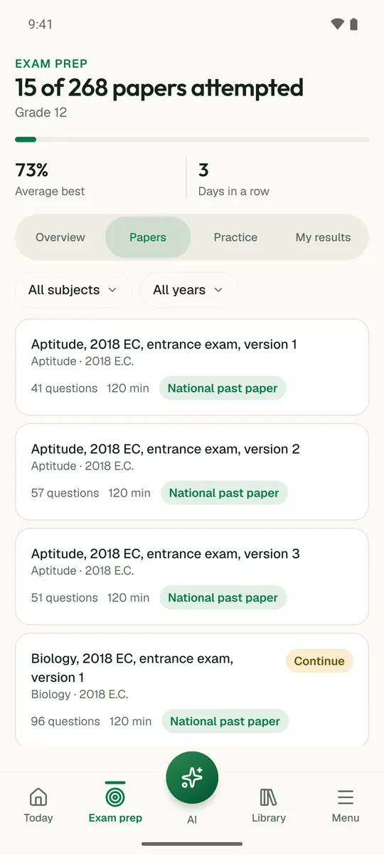
Temari.et is also an Android app, free on Google Play.

The other Geography papers of 2018 E.C.

Revise Geography before you sit this paper

The Grade 12 Geography short notes hold 21 cards. Each one gives the rule, what its symbols stand for and the mistake that costs marks, chapter by chapter from the national textbook.

Open the Geography notes
Is this the real Grade 12 entrance exam?

No. It is a model exam set in 2018 E.C. (2026) to prepare students for the entrance exam, in the same format. Our set holds 85 of its questions, each with its answer and a worked explanation.

Where are the real entrance exam papers?

The Grade 12 entrance exam papers we hold are on the exam papers page, listed by year beside the model exams.

Can I download this model exam as a PDF?

Yes, and it is free. The question paper is one file and the answer key with its worked explanations is another, so you can try it first. Print them, or keep them on your phone for revision when there is no data.

Sign inCreate your account