
Grade 12 results are out. Where to check yours

Unit notes and practice questions

Grade 10 Geography unit 1: Landforms of Africa

Everything here is for unit 1 of the Grade 10 Geography textbook: what the chapter covers, the short notes, practice questions with their answers, and the lesson video where one exists.

Get it on Google Play
3
Cards
10
Practice questions on unit 1
1–22
The textbook pages for unit 1

What unit 1 covers

  1. 1.Overview of the world's major landforms
  2. 2.Location and related features of Africa
  3. 3.Major landforms of Africa
  4. 4.Overview of the world's major

Short notes for unit 1

The cards filed under this chapter on the Grade 10 Geography page. Open one at a time.

When you use it

Use this when identifying whether Lake Victoria is structurally part of the East African Rift Valley graben floor.

Watch out

Lake Victoria is not inside the rift valley. It occupies a depression between the eastern and western rifts.

Drafted from Grade 10 Geography, pages 1-22, then checked twice before it went up

Major Landform RegionPhysical Regions
African Alpine SystemAtlas Mountains
African MassifThe Sahara, The Sahel, The Savanna, The Tropical Rainforest
East African Highlands and Rift SystemThe Rift Valley and Great Lakes, Ethiopian and Eritrean Highlands
Southern Africa PlatformMountains and desert systems of Southern Africa

When you use it

Use this to classify Africa into its four major landform divisions and their physical subregions.

Watch out

Do not place the Sahara or the Sahel under the Alpine system. They belong to the African Massif.

Drafted from Grade 10 Geography, pages 1-22, then checked twice before it went up
Surface TypeDescriptionDominant Material
ErgSand seaReddish sand dunes
RegDesert pavementPebbles on flat sand sheets

When you use it

Use this to distinguish between the two distinct desert surface types found in the Sahara.

Watch out

Do not confuse erg with reg. Erg is a sand sea with dunes, while reg is a pavement of pebbles on sand.

Drafted from Grade 10 Geography, pages 1-22, then checked twice before it went up

Practice questions on unit 1

10 multiple-choice questions written against this chapter, each with its answer and the reason. Try one before you open the answer.

Question 1

What are the three major types of landforms on the Earth's surface?

  1. A.Hills, valleys, and gorges
  2. B.Mountains, plateaus, and plains
  3. C.Basins, peninsulas, and isthmuses
  4. D.Continents, oceans, and islands
Show the answer and why

Answer: B Mountains, plateaus, and plains

Why

Mountains, plateaus, and plains are the three major types of landforms. Minor landforms include hills, gorges, valleys, and basins.

Question 2

Which ocean is both the largest and the deepest, covering one third of the Earth's surface?

  1. A.Atlantic Ocean
  2. B.Indian Ocean
  3. C.Pacific Ocean
  4. D.Southern Ocean
Show the answer and why

Answer: C Pacific Ocean

Why

The Pacific Ocean is both the largest and the deepest ocean, covering one third of the Earth's surface.

Question 3

How many recognized sovereign states are there in Africa?

  1. A.48
  2. B.50
  3. C.54
  4. D.60
Show the answer and why

Answer: C 54

Why

According to the textbook, the continent of Africa is home to 54 recognized sovereign states.

Question 4

What term describes a great sand sea of reddish sand dunes in the Sahara Desert?

  1. A.Reg
  2. B.Erg
  3. C.Graben
  4. D.Sahel
Show the answer and why

Answer: B Erg

Why

An erg is a great sand sea of reddish sand dunes weathered from sandstone. A reg is a desert pavement of pebbles on flat sheets of sand.

Question 5

The Abbay Gorge cuts down about how deep between the towns of Goha Tsiyon and Dejen?

  1. A.500 m
  2. B.1000 m
  3. C.1500 m
  4. D.2000 m
Show the answer and why

Answer: B 1000 m

Why

The textbook states that the deep Abbay Gorge cuts down about 1000 m deep between Goha Tsiyon (in North Shewa) and Dejen (in East Gojam).

Question 6

The Himalayan Mountains were formed when the Indian tectonic plate collided with which plate?

  1. A.African plate
  2. B.Arabian plate
  3. C.Eurasian plate
  4. D.Pacific plate
Show the answer and why

Answer: C Eurasian plate

Why

The Himalayas were formed about 40 to 50 million years ago when the Indian tectonic plate collided with the Eurasian plate.

Question 7

Africa covers what percentage of the Earth's total land area?

  1. A.6%
  2. B.16%
  3. C.20%
  4. D.71%
Show the answer and why

Answer: C 20%

Why

Africa covers 6% of the Earth's total surface area and 20% of its land area, while hosting about 16% of the world's population.

Question 8

What does the Arabic word sahil (Sahel) mean?

  1. A.Mountain
  2. B.Shore
  3. C.Valley
  4. D.Desert
Show the answer and why

Answer: B Shore

Why

Sahel comes from the Arabic word sahil, which means "shore" or edge of the Sahara Desert.

Question 9

Why are soils in the African tropical rainforest generally acidic and nutrient poor?

  1. A.Due to prolonged dry seasons and high wind erosion
  2. B.Due to extreme chemical weathering and heavy leaching from frequent rainfall
  3. C.Due to widespread seasonal savanna fires
  4. D.Due to the presence of thick desert pavements of pebbles
Show the answer and why

Answer: B Due to extreme chemical weathering and heavy leaching from frequent rainfall

Why

Frequent and heavy rainfall in the tropical rainforest causes extreme chemical weathering and leaching, making the soils acidic and nutrient poor.

Question 10

Which statement correctly describes Lake Victoria according to the textbook?

  1. A.It is the deepest rift valley lake located inside the Main Ethiopian Rift.
  2. B.It lies in a depression between the eastern and western rifts rather than in the rift valley itself.
  3. C.It is a highly saline lake situated in the Maghreb region.
  4. D.It was formed by volcanic magma pushing the crust upward without faulting.
Show the answer and why

Answer: B It lies in a depression between the eastern and western rifts rather than in the rift valley itself.

Why

Lake Victoria is the largest lake in Africa. It is not inside the rift valley itself, but occupies a depression between the eastern and western rifts formed by their uplift.

The app holds 12 questions on this unit, marked as you go. These are the first 10.

The textbook pages for unit 1

Unit 1 runs from page 1 to page 22 of the Ministry of Education edition.

Ministry of Education edition, English, 204 pages

Download the PDF

Practise this unit in the app

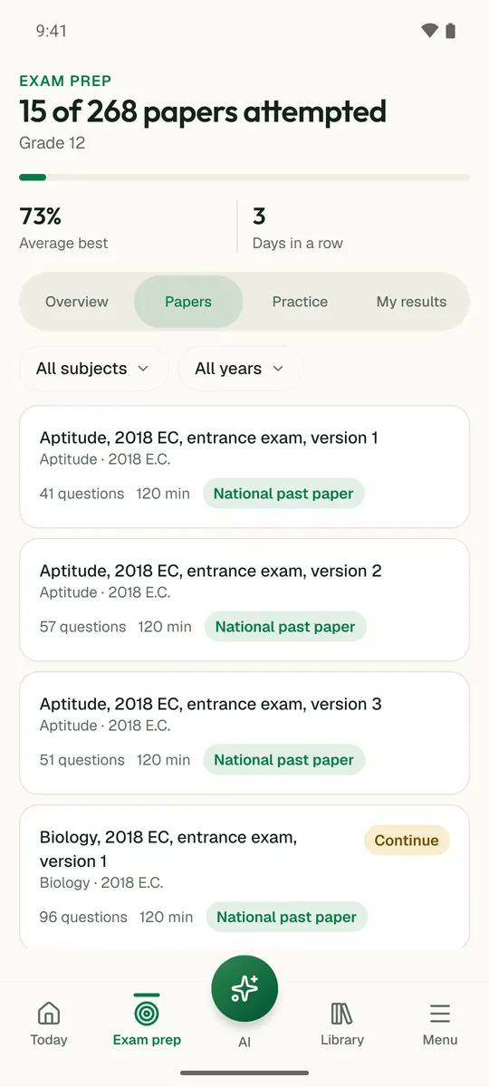
Temari turns this chapter into timed practice and marks it as you go, with an AI tutor to explain anything that did not land.

Start free

Temari.et is also an Android app, free on Google Play.

Sign inCreate your account