Grade 10 Geography unit 1
How pulling the land apart made the Rift Valley
1:19 · Explainer 1 of 2 on unit 1
A short animated Temari explainer on Grade 10 Geography unit 1: How pulling the land apart made the Rift Valley. Free to watch, no account needed.
Everything the explainer says
The explainer's words, part by part, as its captions show them.
Pull the land apart and the middle drops
Imagine forces pulling the land in opposite directions.
The land stretches, and the crust cracks along two faults.
Then the block between the faults drops down.
The blocks on either side stay high, as the steep walls of a valley.
The sunken block is a graben, and this is called normal faulting.
It splits the Ethiopian highlands
East Africa's Great Rift Valley formed this way.
It begins at the Red Sea and runs through Ethiopia, splitting the highlands into a northwestern half and a southeastern half.
Around Lake Victoria it divides into an eastern and a western branch.
Then it runs on through Lake Malawi into Mozambique, far to the south.
It is about 5,600 kilometres long, but only 32 to 80 kilometres wide.
Lake Victoria fills a hollow
Lake Victoria, the largest lake in Africa, is not in the rift.
The land along both branches was lifted up, and a low hollow was left between them.
The lake fills that hollow.
How a rift valley forms
Pulled apart, the land breaks along two faults, and the graben between them drops.
Save this one for revision.
The full lesson on unit 1
Temari's longer video lesson on this chapter, with every word written out on its page.
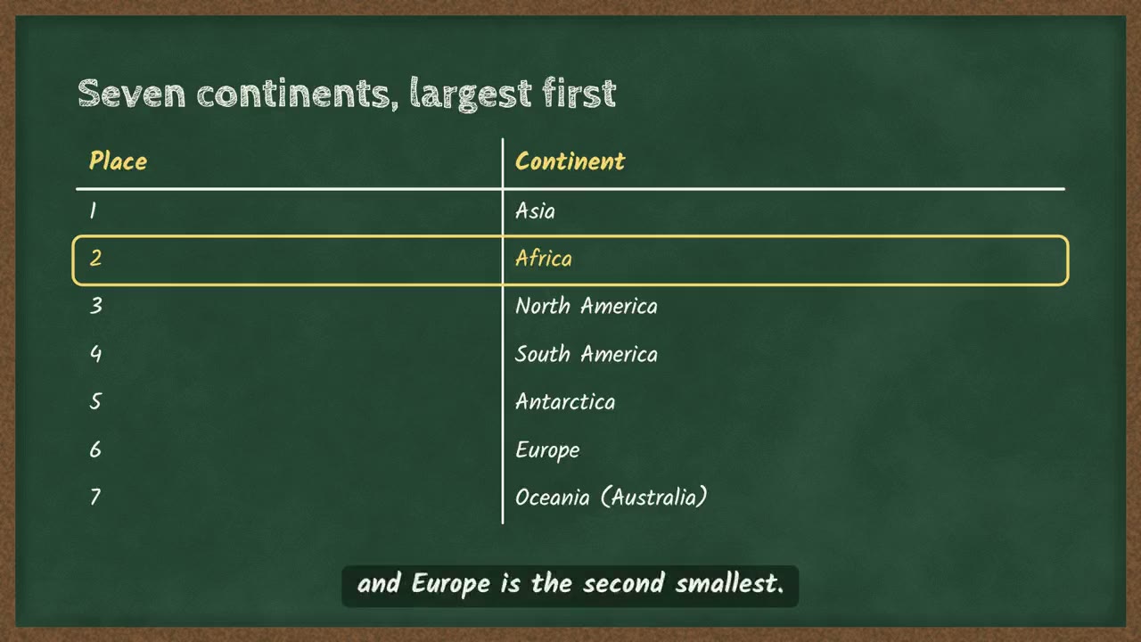 Africa, the second largest continent4 min
More explainers on unit 1
More on unit 1
The chapter's own page holds the rest of what Temari has on it, such as short notes and practice questions with their answers.
Open the unit 1 pagePractise this unit in the app
Temari turns this chapter into timed practice and marks it as you go, with an AI tutor to explain anything that did not land.
Start free
Temari.et is also an Android app, free on Google Play.