Grade 9 Geography unit 3
Climbing through Ethiopia's vegetation
1:29 · Explainer 1 of 2 on unit 3
A short animated Temari explainer on Grade 9 Geography unit 3: Climbing through Ethiopia's vegetation. Every word it says is written out under the video.
Everything the explainer says
The explainer's words, part by part, as its captions show them.
Climb, and the plants change
In Ethiopia, natural vegetation follows altitude and rain.
Climb from the dry lowlands to the high peaks, and it changes in bands.
At the foot, rain decides
Below 600 mm of rain a year, as in the Afar lowlands, plants must resist drought: acacia, thorn bushes and succulents.
Where a river keeps the soil moist, gallery forests grow, below 1,500 m.
Around Hawassa, woodland savanna spreads: grass with scattered trees.
Forests, tree by tree
Above 1,500 m, the highland forests climb in bands.
Woira is the first tree here, with Kosso beside it, up to 1,800 m.
Zigba takes over to 2,200, then Tid, a conifer, to 2,800.
Kerkha grows from there to 3,000 m.
The top: afroalpine
From 3,000 to 3,300 m, woodland scrub takes over: the sub-afroalpine.
Above 3,300 m, the afroalpine has tussock grass, mosses and lichens, much like the Alps of Europe.
Semien carries it, and so do the Bale Mountains.
Vegetation by altitude
Drought plants below, forest bands above, afroalpine on top.
Save this one for revision.
The full lesson on unit 3
Temari's longer video lesson on this chapter, with every word written out on its page.
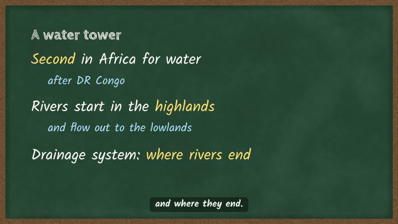 Ethiopia's rivers and where they go4 min
More explainers on unit 3
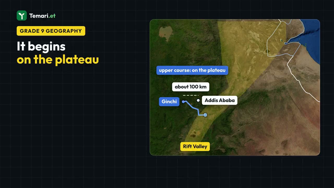
More on unit 3
The chapter's own page holds the rest of what Temari has on it, such as short notes and practice questions with their answers.
Open the unit 3 pagePractise this unit in the app
Temari turns this chapter into timed practice and marks it as you go, with an AI tutor to explain anything that did not land.
Start free
Temari.et is also an Android app, free on Google Play.